Topographic Maps Explained: Contour Lines, Scale and Terrain Features
Topographic maps use contour lines, scale, symbols and colors to show terrain, water and human made features. Learning the basic patterns helps hunters, hikers and new outdoorspeople plan routes and prepare for field use, but it does not replace practice with a map, compass and GPS.
By RaiS. Reviewed by RaiS. Published . 7 min read.
Research and drafting were assisted by AI. RaiS checked the facts against the sources below and approved this page.
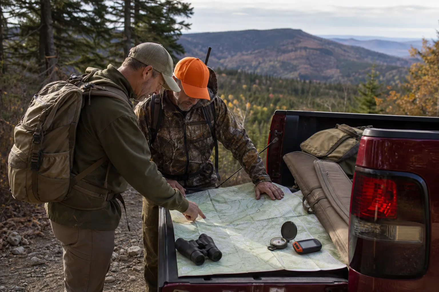
Topographic maps show the shape of the land. The key feature is the contour line: a line that connects points of equal elevation. Once you understand contour lines, scale, colors and common landform patterns, a topo map becomes a practical tool for seeing hills, ridges, valleys, water and steep ground before you are standing in it.
What a topographic map shows
The U.S. Geological Survey describes topographic maps as maps distinguished by the use of elevation contour lines. Natural Resources Canada describes a topographic map as a two dimensional representation of a three dimensional landscape.
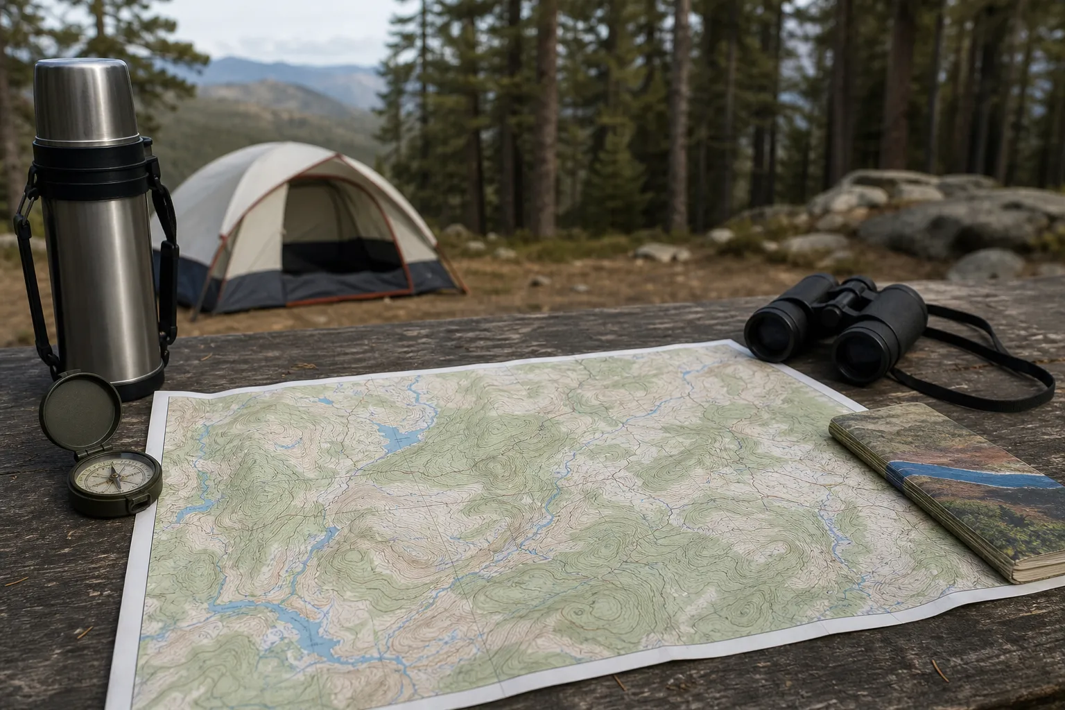
That means a topo map is not just a road map. It is a way to read terrain. For hunters, hikers and other outdoorspeople, this helps with understanding what lies between you and your destination.
USGS says topographic maps can include roads, railroads, rivers, streams and lakes. Natural Resources Canada lists topographic map uses that include camping, canoeing, hunting and fishing. NRCan also groups lakes, rivers, streams, swamps, rapids and falls under hydrography.
Topo maps also use colors and symbols. USGS groups brown with topographic contours and blue with hydrographic features such as lakes and streams. Natural Resources Canada says blue represents water features.
Always read the map legend. Symbols and colors can vary by map series and edition, so the legend is the place to confirm what a line, color or symbol means on the map you are holding or viewing.
Contour lines and elevation
USGS says elevation contours connect points with the same elevation, usually relative to mean sea level. If you walked along one contour line, you would be staying at the same mapped elevation.
USGS states that contours do not cross because each contour is a line of equal elevation. The contour pattern is what gives the map its three dimensional meaning.
The spacing between contour lines matters:
- Very even spacing often suggests a steady slope.
The contour interval is the elevation difference between adjacent contour lines. USGS says the contour interval is printed in the margin of each USGS map. Before you judge the terrain, find that interval. A cluster of lines on a map with a large contour interval can represent a large elevation change over a short map distance.
Index contours are the heavier, wider contour lines used to help readers determine elevation. USGS says index contours are wider. The thinner lines between them are intermediate contours. Reading the labeled index contours first makes it easier to count up or down by the contour interval.
Natural Resources Canada says contour elevation numbers read uphill. That is a useful clue when you are trying to decide which side of a slope is higher.
A spot elevation is a point with a listed elevation. USGS identifies spot elevation as a vertical control symbol category. These marked points can help you confirm a summit, road junction, open area or other mapped location when they appear on your map.
Map scale: how map distance becomes ground distance
Natural Resources Canada defines map scale as the ratio between map distance and ground distance. In plain language, scale tells you how much real ground is represented by a measured distance on the map.
USGS says US Topo is the current 1:24,000 map series, published as printable digital documents. Natural Resources Canada says a standard Canadian topographic map is produced at 1:50,000 scale.
A ratio with a smaller second number represents a closer view of the ground than a ratio with a larger second number. For example, 1:24,000 is a more detailed scale than 1:50,000 because the same map distance represents less ground.
Do not guess distance by eye alone. Natural Resources Canada says the scale bar at the bottom of each NRCan topographic map is used to determine distances. The National Park Service also says its brochure maps seldom match standard USGS map series scales and users should use the bar scale.
Scale matters in the field because it changes how far features are from each other on the map. A ridge that looks close on a small overview map may take much longer to reach than expected. A scale bar gives you a better estimate before you commit to a route.
Grids and coordinates, in beginner terms
Topo maps can also help you describe a location. Natural Resources Canada says topographic maps use both UTM and geographic coordinate referencing systems.
Geographic coordinates are latitude and longitude. UTM is another grid based referencing system used on many topo maps and GPS units. At a beginner level, the important point is that your map, GPS and any shared coordinates need to match the system you are using.
Parks Canada says GPS and map users should make sure the GPS and map sheet use the same datum. A datum is part of the coordinate reference setup. If the datum does not match, a coordinate from one source may not line up correctly with another.
If you plan to use bearings with a compass, do not skip declination. Parks Canada says compass users must correct for magnetic declination. Natural Resources Canada says compass navigation with a topo map requires converting true or grid bearings to magnetic bearings. For a practical beginner companion, see our guide to how to use a compass.
Terrain features: reading the shape of the land
Contour patterns let you recognize common landforms before you get there. This is where topo maps become especially useful for route planning.
Hills
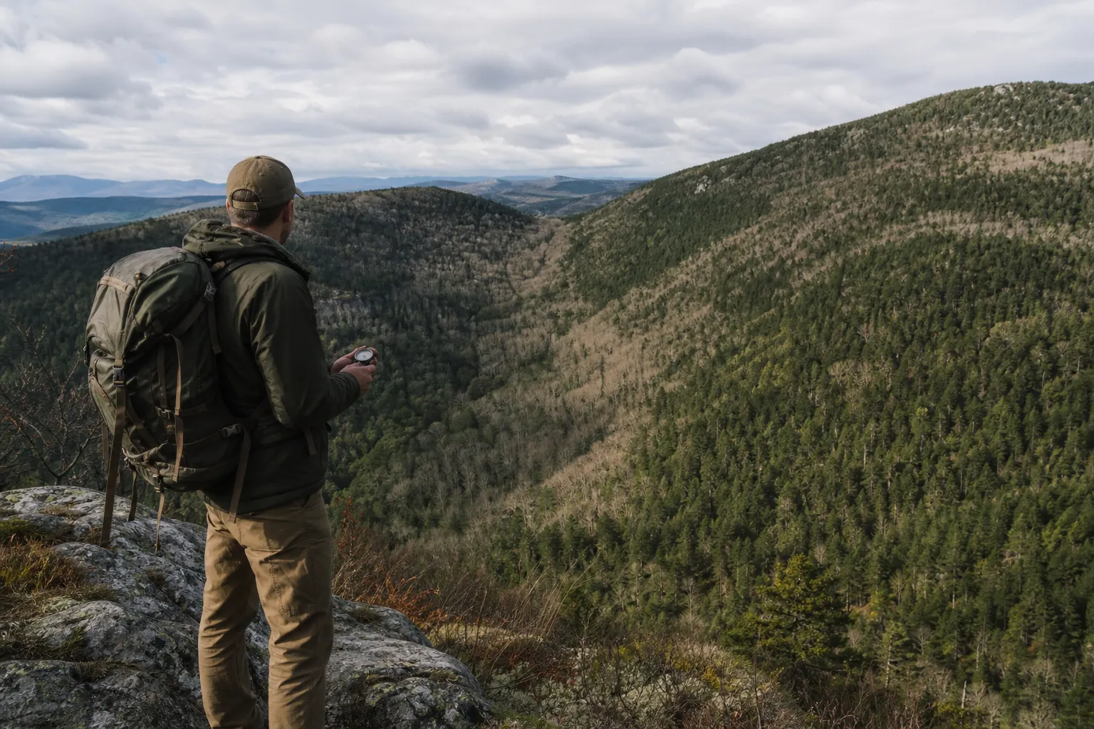
Closed contour loops can mark high ground when the elevation numbers increase toward the center. A spot elevation may mark the high point when one is shown.
Hills matter for travel because they can change effort, visibility and route options. On the map, look at both the shape of the hill and the spacing of the lines around it.
Ridges
A ridge is a raised line of ground extending away from a higher area. On a topo map, the contour pattern helps you see that raised shape.
Ridges can look like fingers of higher ground reaching away from a summit or larger slope. Compare the ridge with the surrounding contour labels and nearby low ground.
Valleys, draws and drainages
Contour patterns can help you compare low ground, nearby slopes and possible drainage features.
Blue stream symbols may appear in some of these features, but a drainage pattern can still be important to recognize from contours.
Saddles
A saddle is a lower area between higher ground on either side.
Saddles are easy to overlook at first because they are not a single line or symbol. Look for two high areas with a lower connecting area between them. The contour pattern will show the ground dropping from each high point and rising again toward the next.
Cliffs, walls and very steep slopes
Areas where contour lines are tightly packed deserve close attention on the map.
Treat tightly packed contours with caution when planning travel. The map may show that a route is short in distance, but the terrain may involve a large elevation change.
Depressions, pits and sinkholes
Check the legend for hachured closed contours and other depression symbols. Hachures are small tick marks attached to the contour line.
Do not read every closed circle the same way. Use the legend, contour labels and surrounding terrain pattern to interpret closed contour features.
Water features and blue symbols
USGS identifies perennial lakes and ponds as a water feature symbol category. Natural Resources Canada groups lakes, rivers, streams, swamps, rapids and falls under hydrography. Both USGS and Natural Resources Canada associate blue with water features.
Water features help you understand the landscape, but the map still needs to be read carefully. Streams, ponds, wetlands and falls may affect route choice. Blue symbols should be checked against the legend for the specific map.
Contour lines also help explain water movement and valley shape. Compare blue stream lines with nearby contour patterns to understand the drainage pattern.
Orienting the map
Natural Resources Canada says a map is oriented when it corresponds to the ground it represents. In the field, that means the map is turned so the features on the map line up with the features around you.
Natural Resources Canada says a compass can help orient the map to north when matching nearby features is difficult. Matching the map to the land is a basic step before making route decisions.
Safe navigation basics for hunters and hikers
A topo map can help you plan, but it is not a complete navigation course. Parks Canada tells hikers to bring a trail map, check current trail conditions and check the weather forecast before heading out.
Parks Canada says backcountry hikers should bring tools such as a map, compass and GPS, and know how to use them. It also warns that hikers should not rely only on a phone GPS because cell service is limited in many places.
A GPS track is helpful, but it is not enough by itself. Parks Canada says a GPS track file alone is not a substitute for route finding skills.
The National Park Service says its maps are general reference and route finding products, not substitutes for USGS topographic maps for backcountry hiking. It also says brochure maps seldom match standard USGS map series scales, so users should use the bar scale.
Before relying on topo maps in the field, practice in a low risk area. Learn to read the legend, identify contours, measure distance with the scale bar, orient the map and compare map features with real terrain. Take a navigation course or practice map and compass skills before depending on them in unfamiliar country.
Before a trip, check the current map edition, the map legend, the contour interval, the scale bar, the coordinate system, the datum, magnetic declination, trail conditions and weather with the appropriate official agency or land manager.
Frequently asked questions
What is a topographic map?
USGS describes a topographic map as a map distinguished by elevation contour lines. Natural Resources Canada describes it as a two dimensional representation of a three dimensional landscape.
What do contour lines show?
USGS says contour lines connect points with the same elevation, usually relative to mean sea level.
What is a contour interval?
USGS defines the contour interval as the elevation difference between adjacent contour lines. USGS says the contour interval is printed in the margin of each USGS map.
Can I rely only on my phone GPS?
Parks Canada warns hikers not to rely only on a phone GPS because cell service is limited in many places. Parks Canada also says a GPS track file alone is not a substitute for route finding skills.
What should I check before using a topo map in the field?
Check the map legend, scale bar, contour interval, coordinate system, datum and magnetic declination. Parks Canada also tells hikers to check current trail conditions and the weather forecast before heading out.
Sources
- What is a topographic map?, U.S. Geological SurveyOfficial source. Accessed October 31, 2026.
- Topographic Map Symbols, U.S. Geological SurveyOfficial source. Accessed October 31, 2026.
- Topographic Maps: The basics, Natural Resources CanadaOfficial source. Accessed October 31, 2026.
- Orienting a Topographic Map, Natural Resources CanadaOfficial source. Accessed October 31, 2026.
- Basic Land Navigation, National Wildfire Coordinating GroupOfficial source. Accessed October 31, 2026.
- Map and Compass, U.S. Department of Agriculture, Forest ServiceOfficial source. Accessed October 31, 2026.
- How to prepare for a hike, Parks CanadaOfficial source. Accessed October 31, 2026.
- Hiking in the Long Range Mountains: A Preparation Guide (2025), Parks Canada, Gros Morne National ParkOfficial source. Accessed October 31, 2026.
- Data Sources and Accuracy for NPS Maps, U.S. National Park ServiceOfficial source. Accessed October 31, 2026.