How to Use a Compass
A compass works best with a map: the map shows distance and direction, while the compass lets you turn that direction into a bearing you can follow on the ground. Learn common compass vocabulary, how to orient a map, how to take and follow a bearing, and how to account for magnetic declination.
By RaiS. Reviewed by RaiS. Published . 6 min read.
Research and drafting were assisted by AI. RaiS checked the facts against the sources below and approved this page.
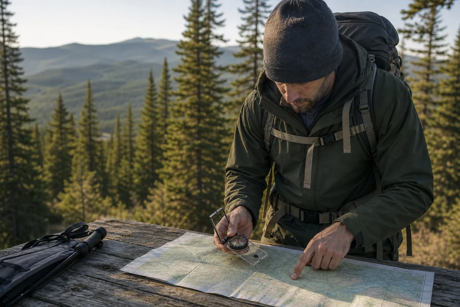
A compass helps you travel in a chosen direction, but USGS says a bearing from one point to another requires both a compass and a map. The map shows where features are, the distance between places, and the direction from one point to another. The compass helps you turn that map direction into a direction you can follow in the field.
Compass basics: what the parts do
Most beginner navigation lessons use a baseplate compass.
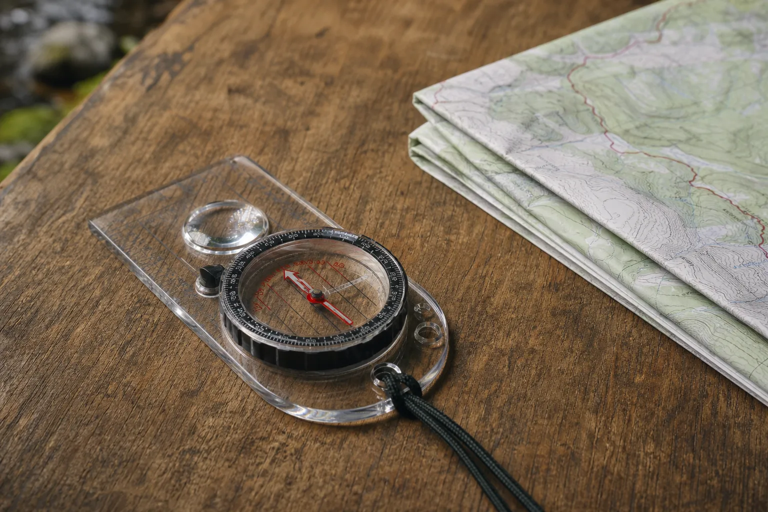
National Park Service compass vocabulary includes the word azimuth along with direction of travel arrow, compass housing, orienting arrow, compass needle, and GPS.
USGS lists the common degree values for cardinal directions as north 0 or 360, east 90, south 180, and west 270. A bearing is the direction from one point to another. In compass work, that direction is commonly read as a degree number on the dial.
Orient the map first
Orienting a map means turning the map so it faces the same direction as the land around you. USGS says to begin by placing the compass on the map so the baseplate parallels the north to south map border, then rotating the dial so compass ring north agrees with map north.
Next, USGS says to rotate the map and compass together until the red magnetic needle overlays the orienting arrow. Keep the map and compass together during that movement.
USGS also warns users to avoid metal interference when doing this. That includes nearby metal such as keys, belt buckles, desks, cars, fences, and rebar in concrete. The magnetic needle can be affected by local magnetic attraction, so step away from metal before trusting the needle.
Take a map bearing
A map bearing turns a route drawn on the map into a compass direction. USGS describes a map bearing method that starts with a line connecting your starting point and destination, extended through the map border or neat line.
A simple map bearing workflow is:
- Mark your starting point and destination on the map.
- Draw a straight line connecting the two points, as USGS describes.
- Place the compass on the map and use the line between the two points as your guide.
- Rotate the dial so compass ring north agrees with map north, as USGS describes.
- Read the bearing from the compass dial.
If your compass has an adjustable declination setting and it is already calibrated for the local declination, USGS says you do not need to add or subtract declination when orienting the map. If your compass is not adjusted, handle declination before following the bearing.
Follow a bearing in the field
Once the bearing is set on the compass, the job is to point your body, compass, and route in the same direction.
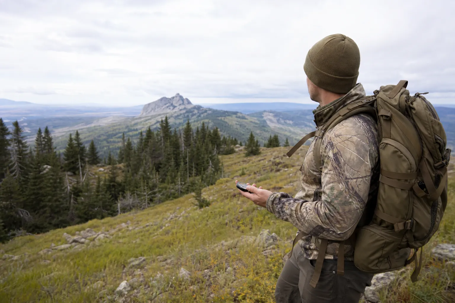
USGS says to follow a bearing by holding the direction of travel arrow away from you and rotating your body and the compass together until the red magnetic needle overlays the orienting arrow. After the compass is aligned, USGS says to sight a landmark along the bearing and proceed to it, repeating as needed.
That landmark method matters because it keeps you from staring down at the compass while walking. Pick a visible tree, rock, opening, or other feature on the bearing, walk to it, then repeat the alignment and sighting step.
Magnetic declination: why north is not always the same north
NOAA NCEI defines magnetic declination as the angle between magnetic north and true north. NOAA NCEI says declination is positive east of true north and negative west of true north, and that magnetic declination changes with time and location.
That is why old map information can be a problem. USGS says magnetic north on a topographic map shows where a compass would point at the time the map was published, and old map declination values may no longer be accurate.
For current U.S. declination, NOAA NCEI says its declination calculator is based on the World Magnetic Model and the International Geomagnetic Reference Field Model. NOAA NCEI states that WMM2025 was released December 17, 2024, and will remain valid until late 2029.
USGS says to obtain the local magnetic declination for the area represented on your map before taking a map bearing with an unadjusted compass. In its Method 1 instructions for an unadjusted compass, USGS says to subtract positive local declination from the derived map bearing and add negative local declination.
The USDA Forest Service describes three ways to compensate for declination: draw parallel magnetic arrows, use a compass with a declination setting, or add or subtract the declination angle each time. The Forest Service also says declination is generally printed in the map margin near the north arrow, and that some maps include grid north notation.
U.S. and Canada declination notes
In the United States, use current official declination information for the place and date you are navigating. NOAA NCEI says declination varies by time and location, and USGS warns that map declination from the publication date may no longer be accurate.
In Canada, the same general caution applies: declination varies by time and location, so use current information for the place and date you are navigating.
Basic triangulation: finding where you are
Triangulation helps you estimate your present location by taking bearings to known features and plotting them on the map. The USDA Forest Service says triangulation can be done by taking compass readings to identifiable land features such as peaks, lakes, gaps, or saddles.
The Forest Service recommends using three identified land features at least 45 degrees apart. After plotting the bearing lines on the map, the Forest Service says the point where all three lines intersect is your location.
For beginners, the important parts are choosing features you can clearly identify on both the ground and the map, using features well separated from one another, and plotting carefully.
GPS is useful, but do not make it your only plan
The National Park Service says GPS can be useful, but may be useless if batteries fail, clouds or landforms interfere with satellites, or the device cannot recognize location. Olympic National Park says GPS units may not receive signals in many deep valleys or heavily vegetated wilderness areas.
A map and compass are not a replacement for judgment, but they are a basic backup skill when electronics fail or signal conditions are poor.
Common compass mistakes
Avoid these beginner errors:
- Following the wrong end of the compass. Use the red magnetic needle only after you have stepped away from metal and checked that the compass is moving freely.
- Pointing carelessly. When following the USGS bearing method, hold the direction of travel arrow away from you.
- Reversing declination math. For USGS Method 1 with an unadjusted compass, USGS says to subtract positive local declination and add negative local declination.
- Trusting old declination values. NOAA NCEI says declination changes with time and location, and USGS says old map values may no longer be accurate.
- Using the compass near metal. USGS warns users to move away from metal such as keys, belt buckles, desks, cars, fences, and rebar in concrete.
- Depending only on GPS. The National Park Service says GPS may be useless if batteries fail or if clouds or landforms interfere with satellites.
Before a trip, check current declination for your route, read the map margin, and confirm the method that matches your compass. For trips in any country, use current local information rather than old declination values.
Frequently asked questions
What is magnetic declination?
NOAA NCEI defines magnetic declination as the angle between magnetic north and true north. It is positive east of true north and negative west of true north.
Do I need a map if I have a compass?
Yes. USGS says determining the direction, or bearing, from one point to another requires both a compass and a map.
How do I follow a compass bearing?
USGS says to hold the direction of travel arrow away from you, then rotate your body and compass together until the red magnetic needle overlays the orienting arrow. Then sight a landmark along that bearing and walk to it.
Why should I keep a compass away from metal?
USGS warns that nearby metal such as keys, belt buckles, desks, cars, fences, and rebar in concrete can interfere with compass use.
How many landmarks should I use for triangulation?
The USDA Forest Service recommends three identified land features at least 45 degrees apart. It says the intersection of the plotted bearing lines marks your location.
Can I just use GPS instead of a compass?
The National Park Service says GPS can be useful, but may be useless if batteries fail or if clouds or landforms interfere with satellites. Olympic National Park also notes that GPS units may not receive signals in deep valleys or heavily vegetated wilderness areas.
Sources
- Finding Your Way With Map and Compass, U.S. Geological SurveyOfficial source. Accessed October 22, 2026.
- Basic Land Navigation, U.S. Government Publishing Office / USDA Forest Service materialOfficial source. Accessed October 22, 2026.
- Magnetic Declination (Variation), NOAA National Centers for Environmental InformationOfficial source. Accessed October 22, 2026.
- World Magnetic Model (WMM), NOAA National Centers for Environmental InformationOfficial source. Accessed October 22, 2026.
- What do the different north arrows on a USGS topographic map mean?, U.S. Geological SurveyOfficial source. Accessed October 22, 2026.
- Method #1, U.S. Geological SurveyOfficial source. Accessed October 22, 2026.
- How To Get Your Map and Compass To Face the Same Direction, U.S. Geological SurveyOfficial source. Accessed October 22, 2026.
- Using a compass, Natural Resources Canada / Government of CanadaOfficial source. Accessed October 22, 2026.
- Understanding Maps, USDA Forest Service, Shasta-Trinity National ForestOfficial source. Accessed October 22, 2026.
- Compass Course, Using a Compass, National Park ServiceOfficial source. Accessed October 22, 2026.
- Wilderness Travel Basics, National Park Service, Olympic National ParkOfficial source. Accessed October 22, 2026.